Consistently delivering large-scale road projects with accuracy and speed.
Tailored solutions adapted quickly to meet diverse client and regional needs.
High satisfaction and measurable cost savings across government & enterprise projects.
Expertise across rural, urban, and highway networks with 13,000+ unique roads managed.
Powered by native datasets and integrated global sources for reliable decision-making.
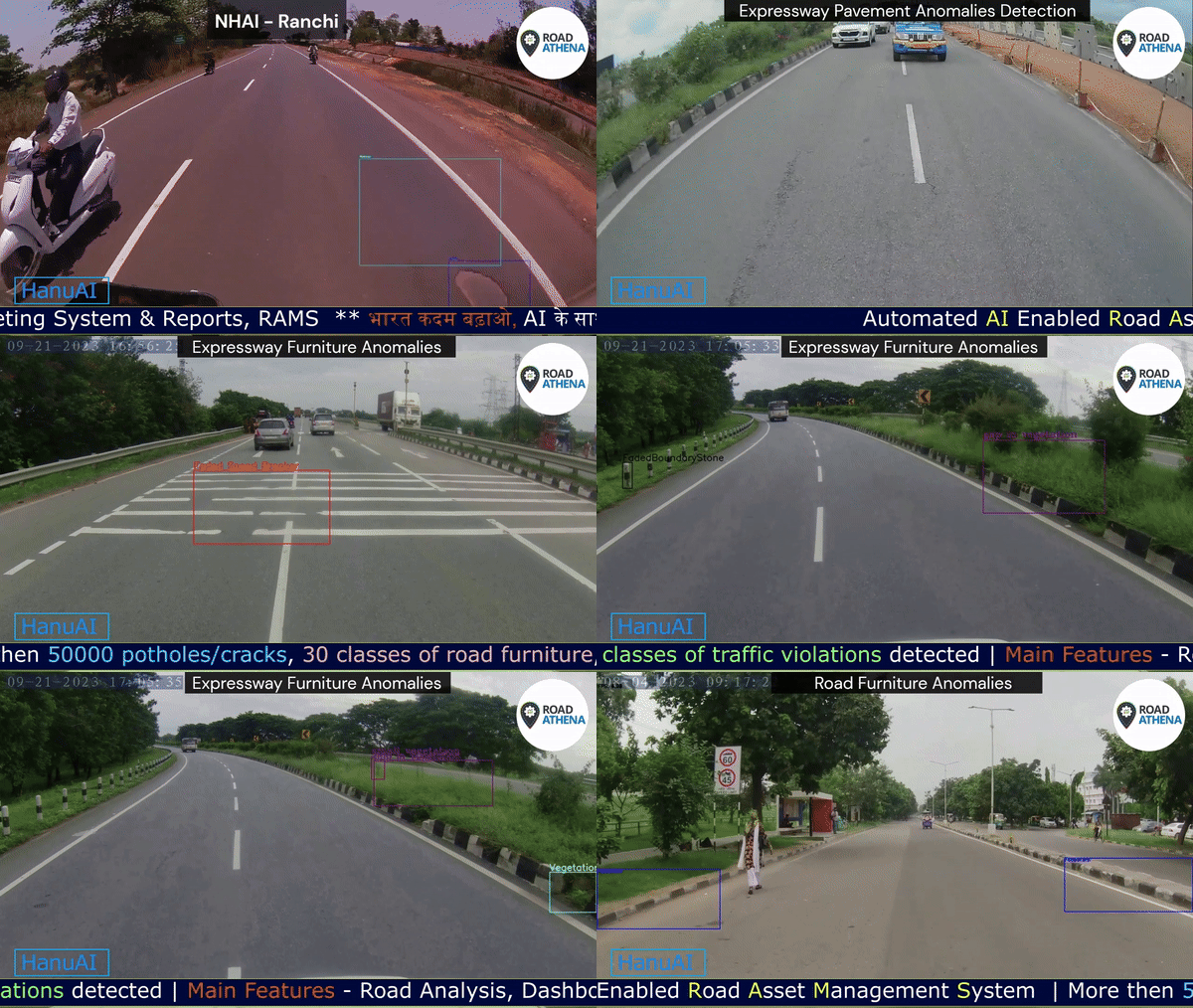
Efficiently processes inputs from drones, dashcams, RSV, and sensor cameras for holistic analysis.
AI-enhanced reporting with visuals for better clarity.


Kilometre Stone

Informatory Signs

Cautionary Signs

Mandatory Signs

Solar Blinkers

Faded Road Markings

Garbage

Kerb Violation

Vegetation Kerb

Reflection Cracks

Faded Zebra Crossing

Damaged Rumble Strips

Faded Arrow Marking

Water Logging

Ravelling

Faded Diagonal Marking

Potholes

Damaged Cover Slabs over Drain

Vegetation Sign

Unauthorized Median Opening

Garbage

Encroachment

Faded Kerb

Dust

Alligator Cracks
Showcasing Various Asset Categories

Median Side Edge Line Marking

Centeral Lane Line Marking

Diverging Chevron Marking

Traffic Lane Line Marking

Directional Arrows Marking

Bifurcation Arrow Marking

Kerb Marking

Faded Pedestrian Crossing

Shoulder Side Edge Line Marking
Showcasing Diverse Asset Collections

Rural Roads

City Roads

Dilapidated Roads

National Highways

Snowy Region

Hilly Region

Urban Roads

Night Surveys

City Streets

Village Roads

Intercity Flyover

Residential Streets
Videos
RoadAthena : Transforming Road Surveys through Artificial Intelligence
Comprehensive road management solutions powered by AI and advanced technology to meet all your infrastructure needs.
"Expanding Across Regions, Growing With Trust"

United States
Italy
Indonesia

Jammu & Kashmir
Himachal Pradesh
Punjab
Haryana
Delhi
Uttar Pradesh
Bihar
Jharkhand
West Bengal
Assam
Meghalaya
Rajasthan
Madhya Pradesh
Chhattisgarh
Odisha
Gujarat
Maharashtra
Telangana
Andhra Pradesh
Karnataka
Kerala
Tamil Nadu
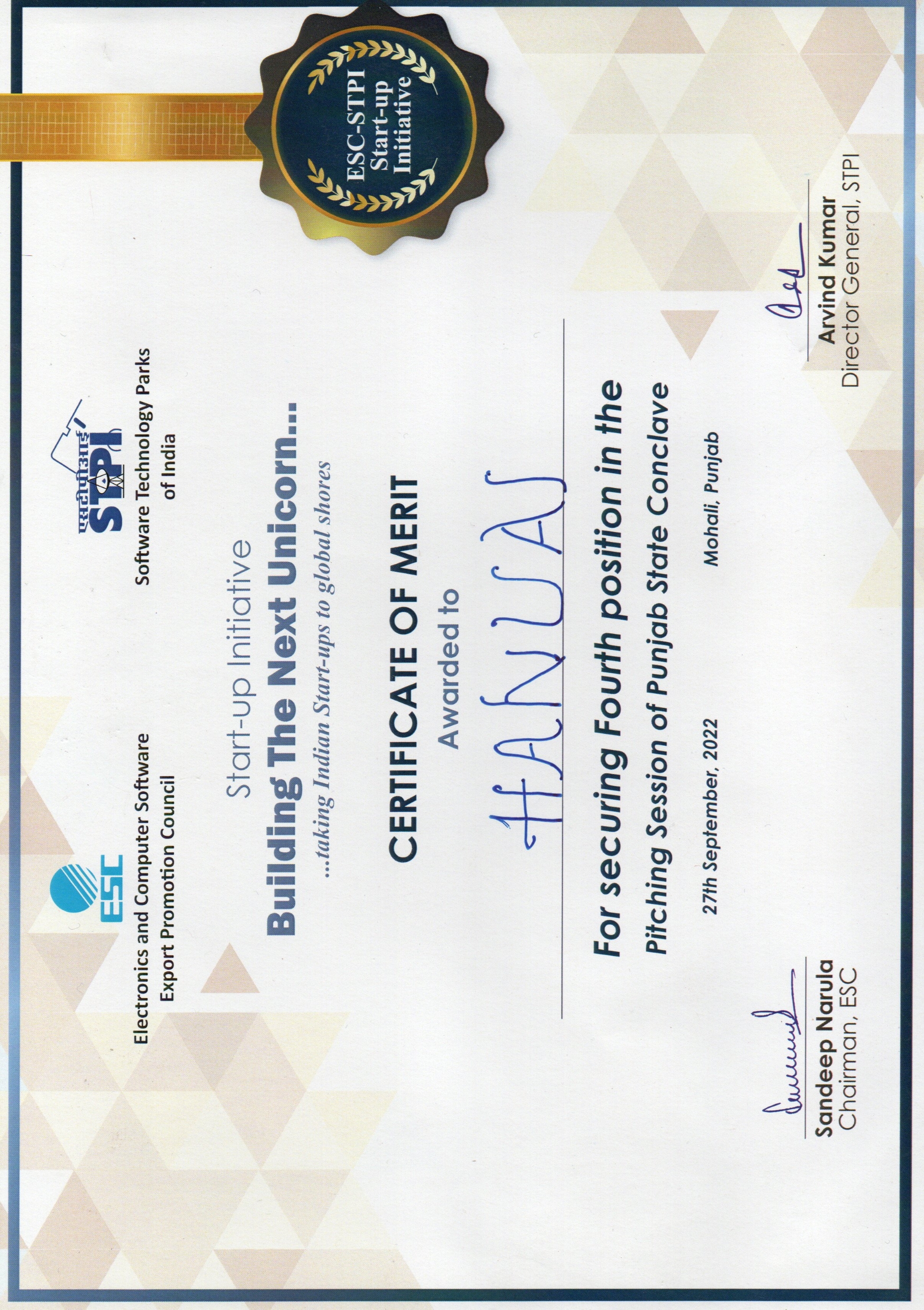
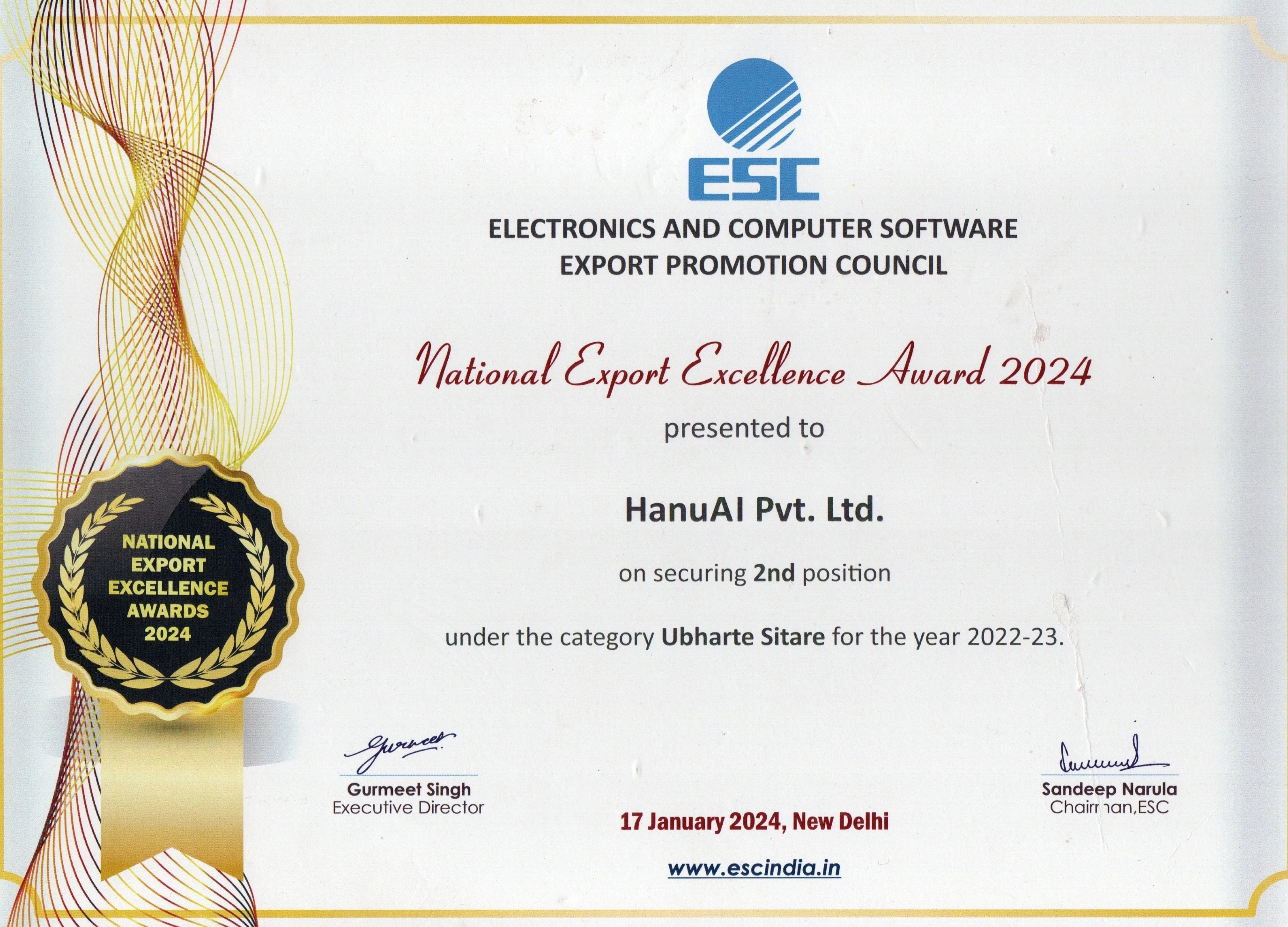
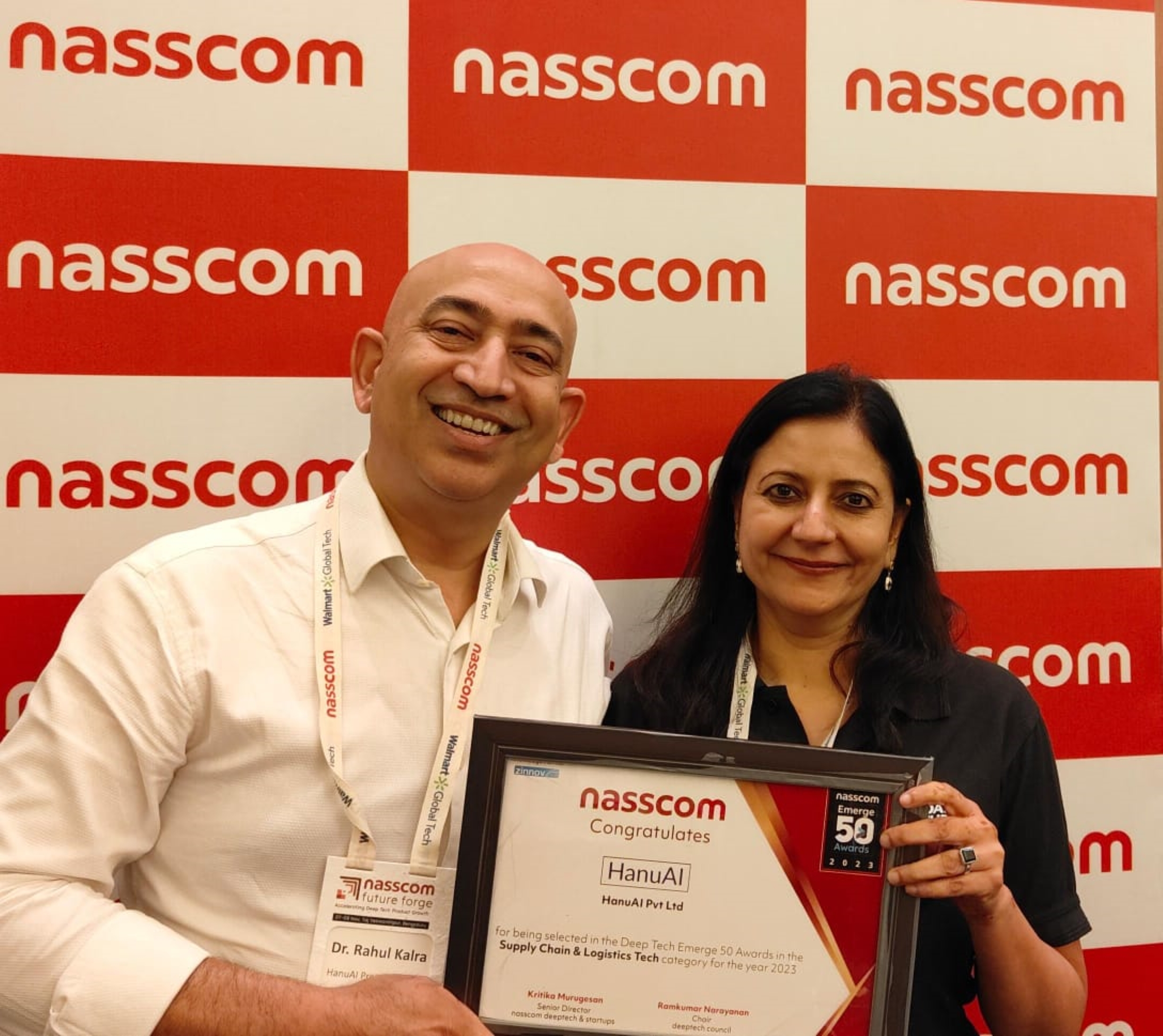
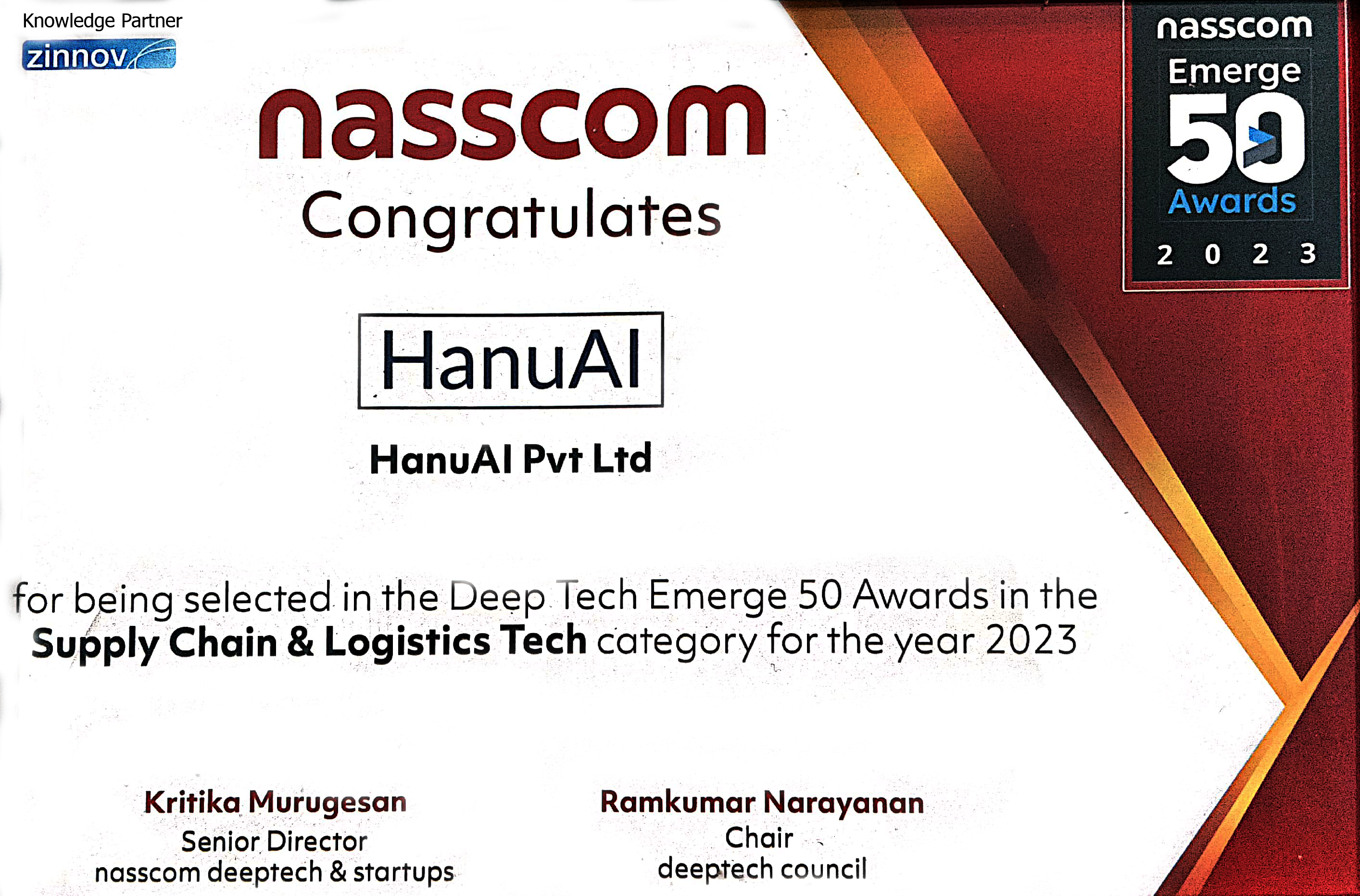
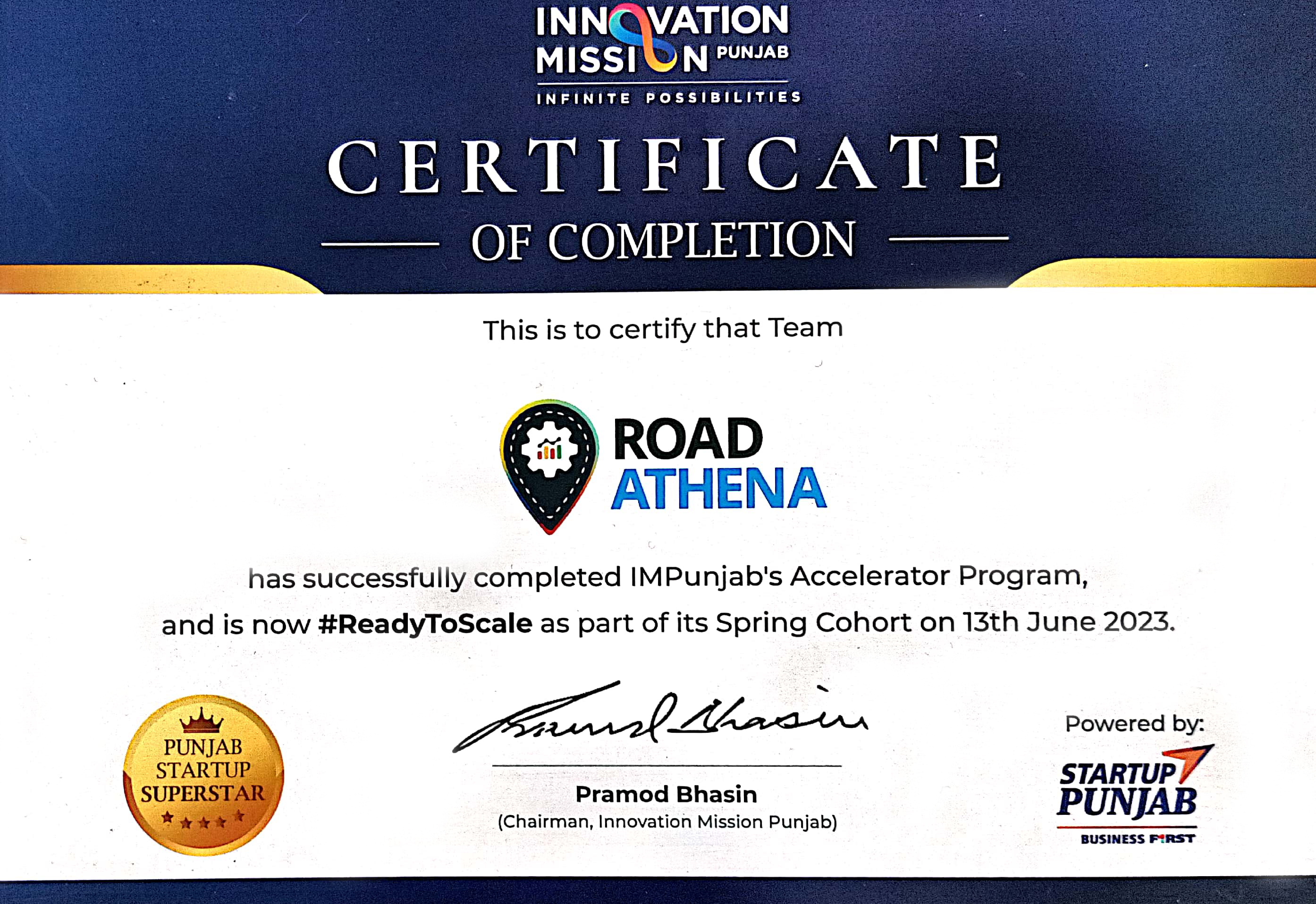
Recognized for excellence in pavement management innovation
